

Maps help turn complex data into something people can see and understand. By adding location to information, GIS makes it easier to answer practical questions, such as whether a new school is centrally located or how traffic patterns affect a neighborhood.
Data is used every day to inform planning decisions. This information may exist in tables, maps, or both with GIS allowing data to be layered and analyzed together to reveal patterns, relationships and impacts.
The Rockingham Planning Commission has maintained a GIS since the early 1900s. RPC’s GIS includes extensive digital mapping and data resources used to support planning, analysis and decision making across the region.
The RPC GIS library is robust and includes:
How GIS is Used
GIS helps visualize information and reveal patterns that support better planning decisions. At the RPC, GIS is used to:
GIS is a powerful planning tool, but it is meant to inform decision – not replace professional surveys or final determinations.
RPC GIS Services
The RPC offers GIS services on a contractual basis, including:
The vast majority of data that the RPC uses was created and is maintained by other agencies such as NH GRANIT.
The most common data sets and associated mapping applications used by RPC and member communities include:
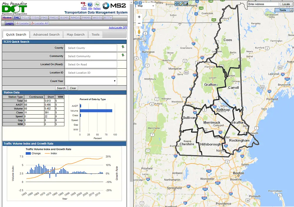
Traffic Count Viewer
The New Hampshire Department of Transportation (NHDOT) and RPC conduct annual traffic counts at many locations around the state to enhance transportation planning. The interactive maps below represent the locations where traffic count data is collected.
Click the image below to open interactive map.
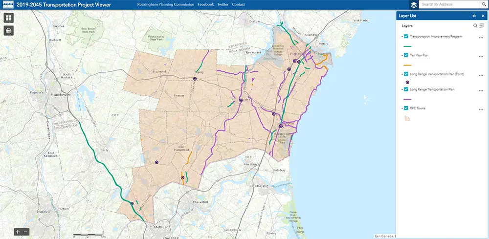
To assist with locating projects associated with the Long Range Transportation Plan, RPC has created an interactive web map of the State Transportation Improvement Plan (STIP), State Ten Year Plan (STYP), and other projects within our region.
Click the image below to open interactive map.
RPC collaborates with various state agency partners to collect statewide transportation inventory data through the New Hampshire Statewide Asset Data Exchange System (NH SADES). RPC primarily collects inventory for Road Surface Management Systems (RSMS) and the NH Stream Crossing Initiative.
Road Surface Management System (RSMS)
The RSMS program provides municipalities with information on their road system’s condition and estimated future maintenance costs.
The process involves completing a road inventory, condition survey, priority analysis, repair selection and planning/budget preparation.
RPC works with the New Hampshire Office of Energy and Planning (OPE) along with other regional planning commissions to develop updated population projections through 2040 for communities across the state.
These projections use current Census data and demographic trends, such as births, deaths, and migration, to help understand how populations may change over time.
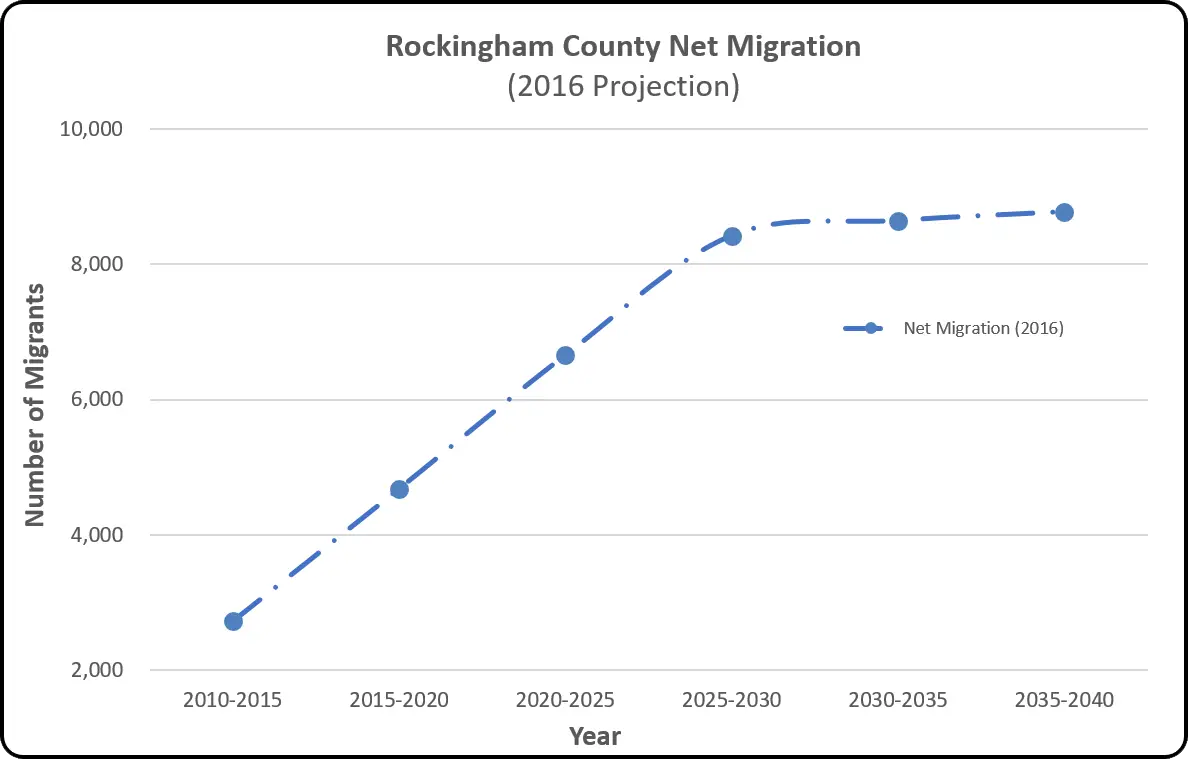
Factors Driving Population Change
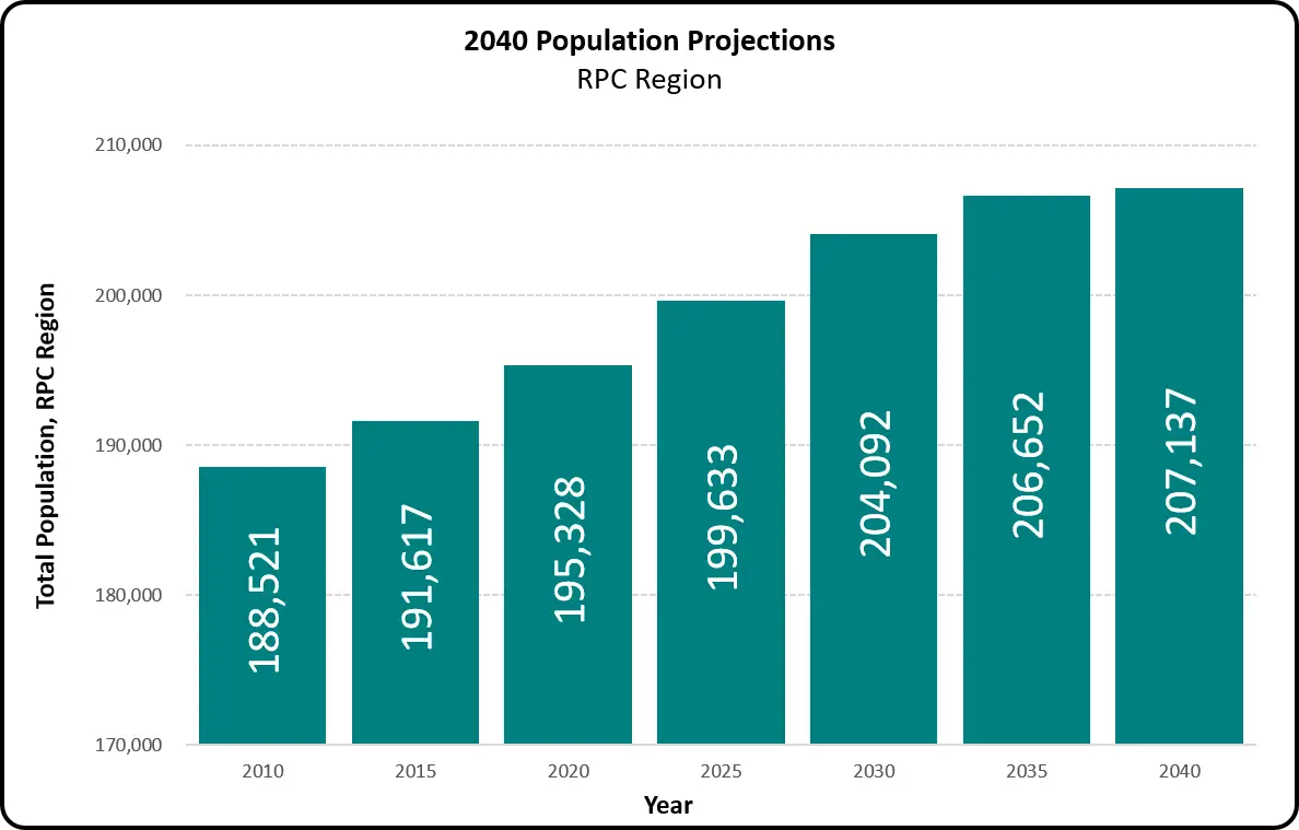
Population projections help communities plan by estimating future needs for:




Communities in the RPC region use the following for parcels, assessing, and other GIS services.
The RPC produces a variety of maps at the state, regional and local level. These as well as many additional maps are available upon request.
Additionally, the RPC can create custom maps at the request of a Member Community and for the general public for a fee.
For more information, contact RPC’s GIS staff:
The Standard Map Set is a collection of the most common community-level planning maps that the RPC produces for all Member Communities. The most recent version of the Standard Map Set for member communities was released in 2016.
Adopted FEMA Flood Hazard Areas
Conservation and Public Lands
Conservation Priority Areas
Soil Potential for Development
Wildlife Action Plan Focus Areas
Click the image below to open the web-based interactive map:
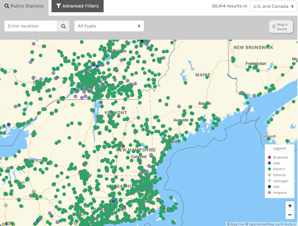
Alternative Fueling Stations
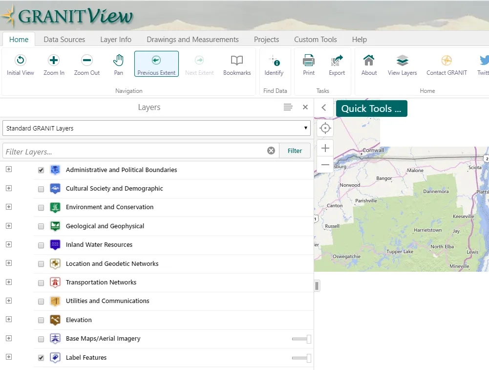
GRANITView
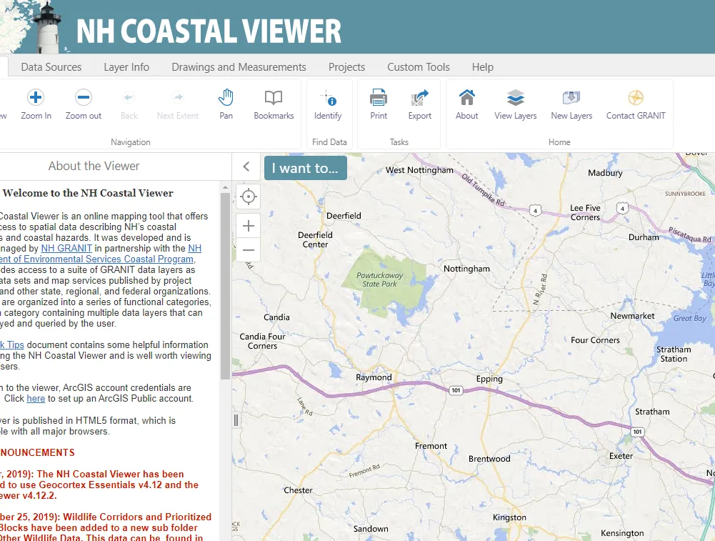
NH Coastal Viewer
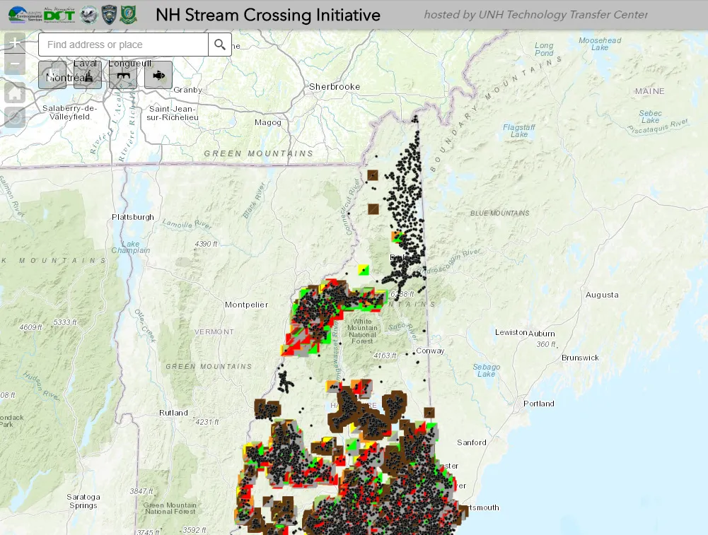
NH Stream Crossings
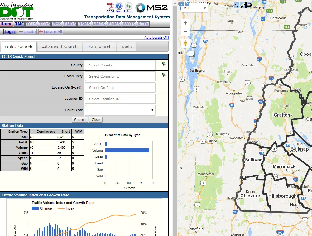
NH Traffic Counts
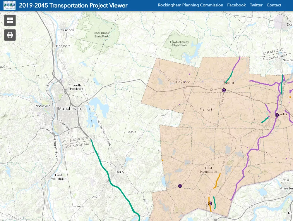
RPC 2019-2045 Transportation Projects
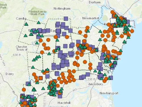
RPC Traffic Counts