Transportation Asset Inventory Data
RPC collaborates with various agency partners in NH to collect and transmit statewide transportation inventory data through the New Hampshire Statewide Asset Data Exchange System (NH SADES) data management tool. SADES is an online-geodatabase that establishes a primary inventory of various assets throughout the state, including: stream crossings, sidewalks, crosswalks, curb ramps, guardrails, and road surfaces (Road Surface Management System - RSMS).
RPC primarily participates in the following inventory programs for two of these assets: Road Surface Management System (RSMS) and the NH Stream Crossing Initiative.
Road Surface Management System (RSMS)
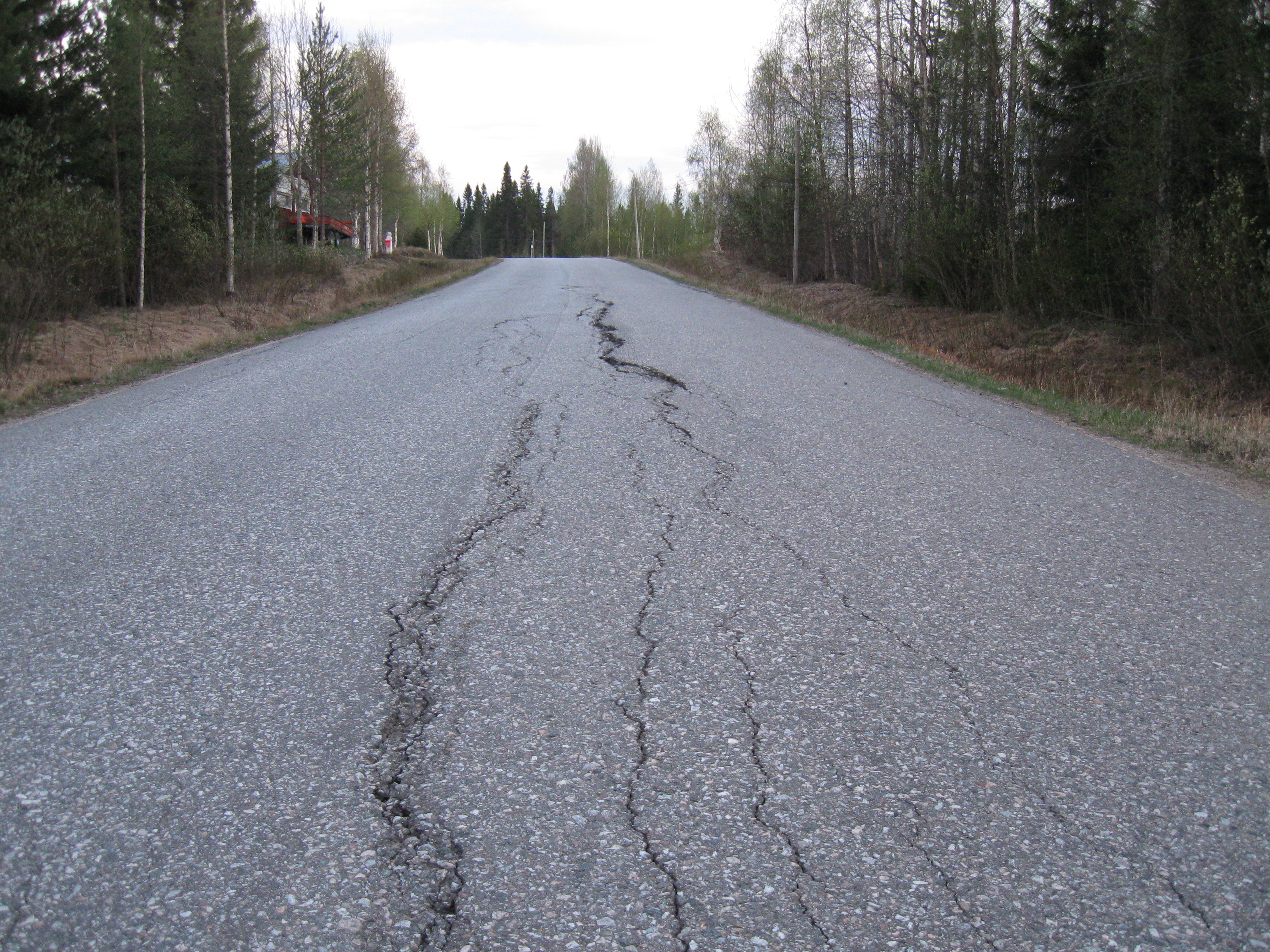
The goal of the RSMS Program is to provide municipalities with information on their road system’s condition and estimate future maintenance costs. The main objective of this project is to inventory distressed pavement manifestations, such as cracking, so that municipalities can prioritize maintenance strategies to stretch their funding and improve the quality of the road network. This process involves completing a road inventory, condition survey, priority analysis, repair selection, and planning/budget preparation.
Municipalities will receive:
- A report containing a complete road inventory documenting the road conditions.
- A forecast report containing recommended repair methods along with estimated repair costs.
- A formal presentation of the results and the accompanying PowerPoint.
- Maps
An example of the RSMS deliverables can be found here: Newington RSMS Package.
Contact us for more information on the RSMS program or to learn how your community can participate.
NH Stream Crossing Initiative
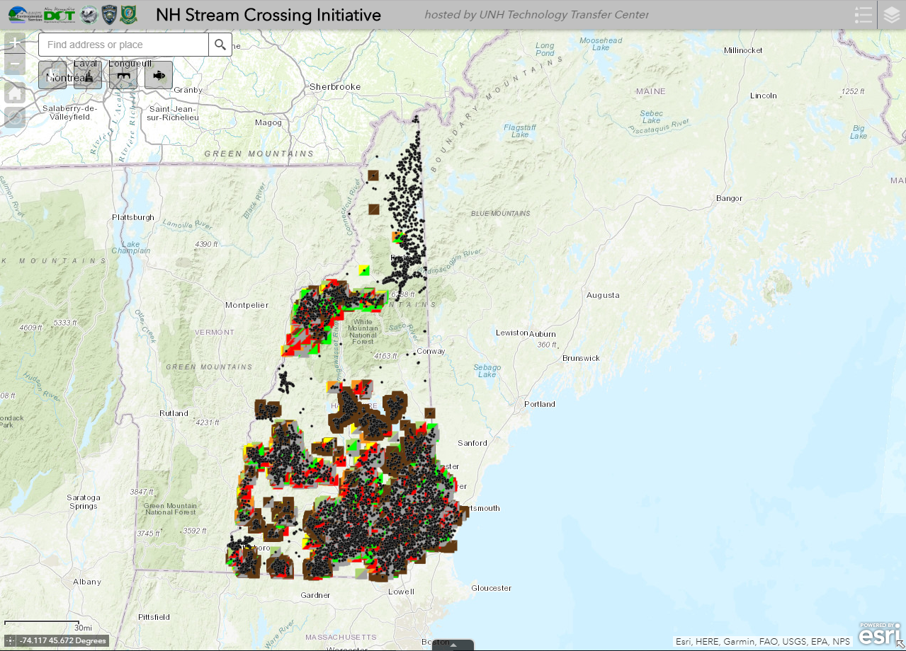
The NH Stream Crossing Initiative is a statewide effort that is a collaboration of multiple partners, including the New Hampshire Department of Environmental Services (NHDES) and Transportation (NHDOT), Fish and Game Department and the Division of Homeland Security and Emergency Management (HSEM). The initiative aims to evaluate stream crossings to address flood risks and identify problem culverts which may present a hazard to public safety and/or may hinder passage to wildlife. RPC staff and interns collect georeferenced data to locate and assess existing crossings. This data allows for the prioritization of stream crossing replacement projects within a town, watershed or region, and the subsequent data are publicly available via the SADES Stream Crossing Viewer (below).
Clicking the below image will open the interactive map in a new tab.