Hazard Mitigation
Division of Homeland Security and Emergency Management (HSEM) has a goal for all communities within New Hampshire to establish local hazard mitigation plans as a means to reduce and mitigate future losses from natural hazard events. In hazard planning and management, mitigation refers to measures that result in avoidance and minimization of impacts. Municipal hazard mitigation plans provide a framework to recognize and address the impacts of natural hazards and climate change. Local decision makers identify natural hazards most likely to impact their community, document existing programs and policies in place to reduce and prevent these hazards, and develop a mitigation action plan. These plans describe actions the community will undertake to reduce loss and damage of public and private assets.
Municipal hazard mitigation plans provide multiple functions and benefits to municipalities. These plans serve as a framework for many types of planning including emergency preparedness and response, infrastructure and capital improvement investments, land use planning and regulation, public health and safety, public education and outreach, and land conservation. The municipal hazard mitigation planning process brings together a diverse group of representatives within the municipality allowing a coordinated and collaborative approach across all sectors of governance, planning and regulatory duties. All communities that RPC has assisted with updating their hazard mitigation plans maintain a list of vulnerable residents to provide necessary services during hazard events and emergencies (ill, elderly, day cares, etc.).
Hazard mitigation plans are approved by HSEM and Federal Emergency Management Agency (FEMA) and adopted by the local governing body. Hazard mitigation plans offer short and long-term strategies and practices aimed at creating sustainable, disaster-resilient communities. HSEM provides funding to update local hazard mitigation plans every five years making these plans a reliable and flexible tool to organize and guide comprehensive municipal planning. Hazard mitigation plans can also incorporate information about future projected conditions such as sea-level rise and coastal storm surge. For more information about programs and assistance refer to the Homeland Security and Emergency Management.
Additional infomation on hazard mitigation planning in the RPC region can be found in the RPC Regional Master Plan Natural Hazards Chapter.
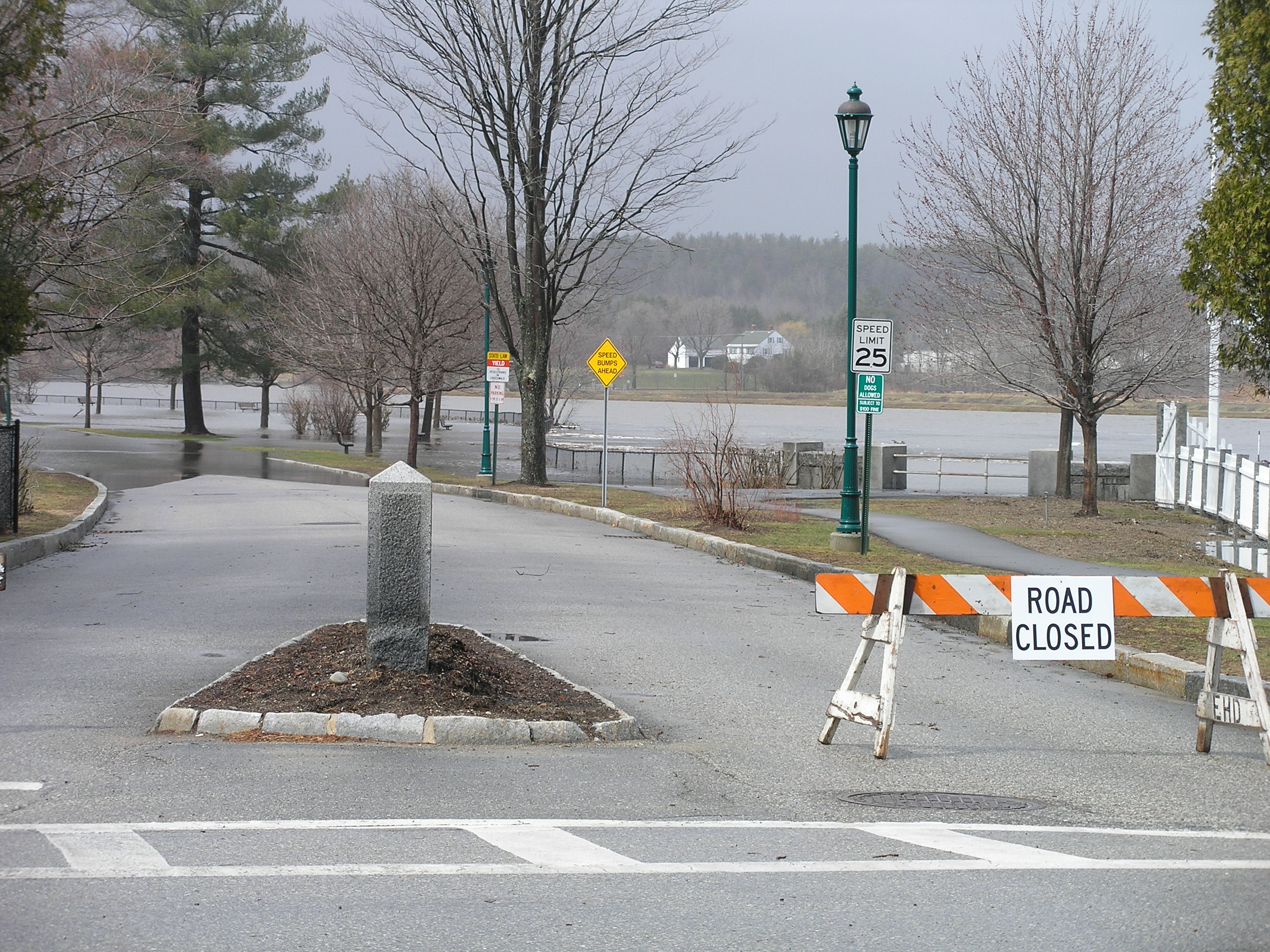
FLOODPLAIN MANAGEMENT
The New Hampshire Office of Energy and Planning (OEP) administers the National Flood Insurance Program (NFIP) in New Hampshire. The NFIP is administered by the Federal Emergency Management Agency (FEMA) in partnership with municipalities to implement both regulatory and planning aspects of floodplain management. Currently, there are 214 communities in New Hampshire (91 percent) that participate in the NFIP. Communities participate by agreeing to adopt and enforce a floodplain management ordinance designed to reduce future flood risks and in return all residents in those participating communities (whether in floodplain or not) can purchase flood insurance. Through FEMA's Community Assistance Program, OEP provides technical assistance to communities and the public on floodplain management and helps to promote sound land use planning techniques that will reduce flood losses. OEP conducts Community Assistance Visits to ensure that communities participating in the NFIP are meeting program goals. OEP staff is available to help you and your community understand the NFIP.
OEP provides assistance on flood insurance, floodplain maps and studies, floodplain outreach, and floodplain regulations. For more information and resources about floodplain management, refer to the Office of Energy and Planning.
FEMA Community Rating System
To meet the need for property insurance coverage in floodplains, the Federal Emergency Management Agency (FEMA) administers the Community Rating System program as part of the National Flood Insurance Program (NFIP). The NFIP’s Community Rating System (CRS) recognizes community efforts that go beyond the minimum standards required by the NFIP by reducing flood insurance premiums for floodplain property owners in participating communities. CRS discounts on flood insurance premiums range from 5% up to 45%.Those discounts provide an incentive for new flood protection activities that can help save lives and property, and reduce impacts in the event of a flood. Refer to the FEMA website for more information about the Community Rating System Program requirements and benefits.
To participate in the CRS, communities can choose to undertake some or all of the 18 public information and floodplain management activities in the program. The CRS assigns credit points for each activity. Based on the total number of points earned, the CRS assigns the community to one of ten classes; the class determines the percentage of discount on flood insurance premiums. The graph below shows the substantial level of savings on NFIP flood insurance premiums associated with raising the first floor elevation of structures above the base flood elevation also referred to as “freeboard”.

